Chaco Sites
Leyit Kin
Site Description:
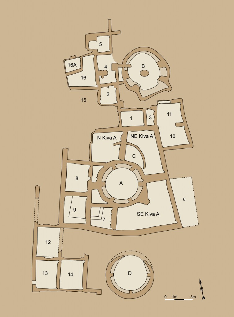
Leyit Kin (Navajo for “way down deep house” or “house in the ground”) is a small house site located about 1 mile (1.6 km.) southeast of Pueblo Bonito on the south side of the canyon. Bertha Dutton and the University of New Mexico/School of American Research field schools excavated Leyit Kin in 1934 and 1936, documenting approximately four kivas and 27 rooms. Tree-ring dates and ceramic data suggest the site likely had three discrete periods of construction and occupation. Construction of the excavated areas of the pueblo appears to have begun by the early A.D. 1040s based on tree-ring dates, but the walls of those rooms were constructed on top of a layer of soil overlaying an earlier foundation. Thus, at least one occupation of the location pre-dates A.D. 1040. A third period of occupation is evidenced by upper deposition layers in several rooms with ceramics more characteristic of the late-11th and early-12th centuries.
The site has been backfilled and is not accessible from a National Park Service trail.
Alternative numbers for this site are 29SJ750, LA 41750, and Bc 24.
Excavation History
- 1934, 1936: Excavated by Bertha Dutton and the University of New Mexico/School of American Research field schools with the support in 1936 of funds from the Works Progress Administration (WPA). Excavations cleared 17 and all or part of the four kivas.
Size and Dates
- Approximately 27 rooms and at least four kivas.
- Tree-ring dates and ceramics indicate construction and occupation: prior to and during the mid-11th century, with a final occupation several decades later.
Site and Room Data
- Aztec West Ruins
- Bc 50 - Tseh So
- Bc 51
- Bc 53 - Roberts' Site
- Bc 57
- Bc 58
- Bc 59
- Chetro Ketl
- Pueblo Bonito
- Pueblo del Arroyo
- Shabik'eshchee
- Talus Unit #1


